File:Gotthard-Gruppe.png
Dimension de sta anteprima: 800 × 524 pixel. Altre risołusion: 320 × 210 pixel | 640 × 419 pixel | 1 024 × 671 pixel | 1 280 × 839 pixel | 1 995 × 1 307 pixel.
File orixenałe (1 995 × 1 307 pixel, dimension del file: 1,08 MB, tipo MIME: image/png)
| Descrision |
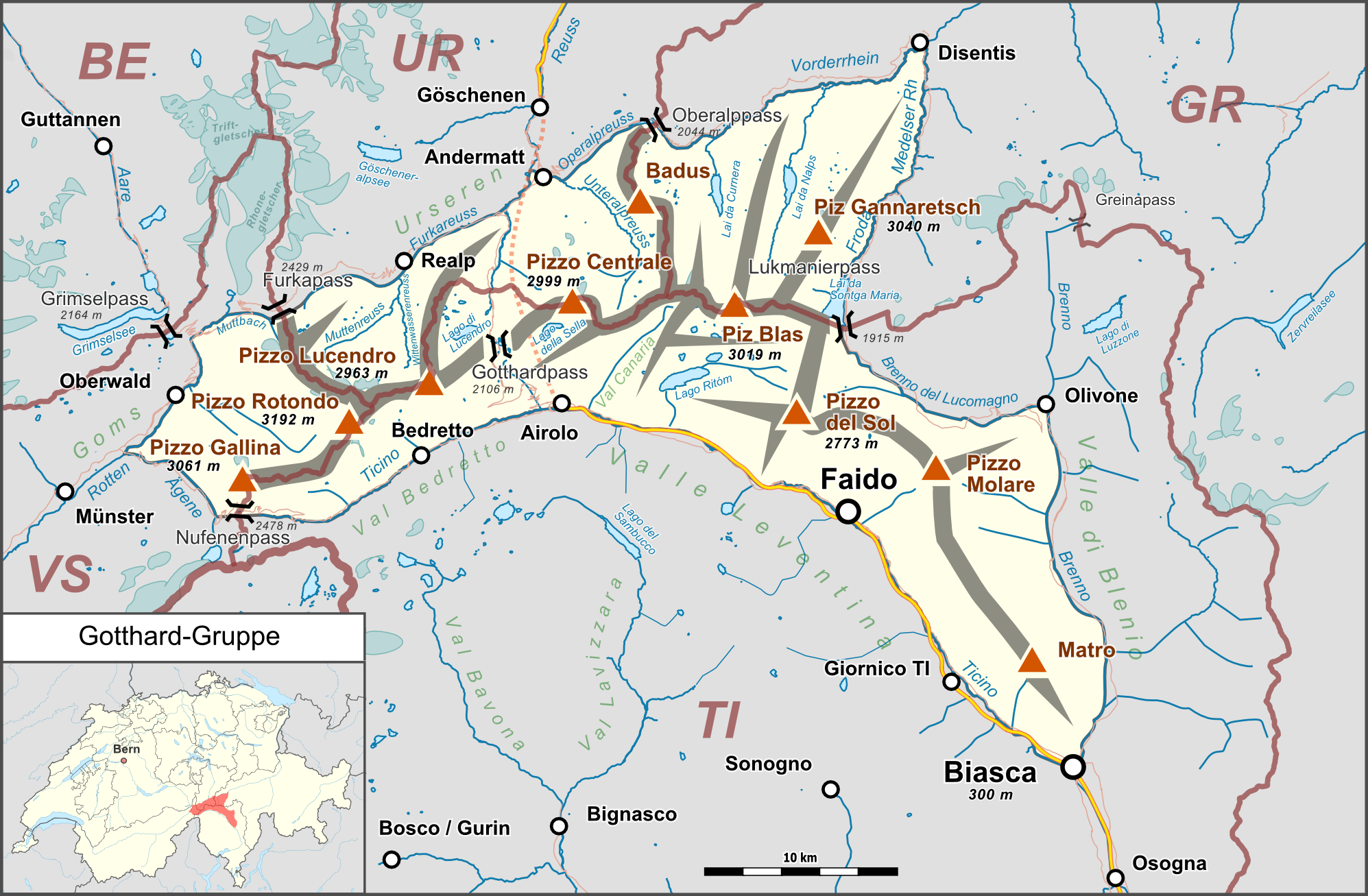
Deutsch: Lagekarte der Gotthard-Gruppe. |
| Data | |
| Provenjiensa |
Opara propia Map was created using:
|
| Autore | |
| Liçensa (Ridoparar sto file) |
Map data (c) OpenStreetMap (and) contributors, CC-BY-SA |
Sto file el xe soto la licensa Creative Commons Atribusion-Condividi a lo stesso modo 2.0 Generico.
- Te si libaro:
- de spartire in jiro – de copiar, distribuir e trasmétar sta opera
- de modifegar – de adatar sta opera
- Soto le seguenti condision:
- atribussion – Te ghe da atribuir ƚa paternità de ƚ'opera ne i modi indicà de l'autor o da chi te gà dà l'opera en lisensa, e en modo tale da no sugerir che lori i sia d'acordo con ti o col modo che te dòpari l'opera.
- spartisi in te ła stesa manjiera – Se te mis-ci, trasformi o dexviłupi sto laoro, te ghè da spartire łe to contribusion segondo ła stesa liçensa o na conpatibiłe a l'orixenałe.
Istoria del file
Schicia so on grupo data/or pa vedare el file come che el se presentava in tel momento indegà.
| Data/Ora | Miniadura | Dimension | Utente | Comento | |
|---|---|---|---|---|---|
| In ultima | 00:42, 26 feb 2015 | | 1 995 × 1 307 (1,08 MB) | Pechristener | nachgebessert gem Disk in KW |
| 23:25, 16 feb 2015 |  | 1 995 × 1 307 (1,06 MB) | Pechristener | Kantonsgrenzen besser, Abk der Kantone hinzu | |
| 19:15, 14 feb 2015 |  | 1 995 × 1 307 (1,05 MB) | Pechristener | Lage von Münster korrigiert | |
| 18:36, 14 feb 2015 |  | 1 995 × 1 307 (1,05 MB) | Pechristener | Landesgrenze eingefügt | |
| 03:58, 14 feb 2015 |  | 1 995 × 1 307 (1,05 MB) | Pechristener | Rahmen etwas erweitert. | |
| 03:52, 14 feb 2015 |  | 1 995 × 1 261 (1,03 MB) | Pechristener | {{Information |Description={{de|1=Lagekarte der Gotthard-Gruppe}} |Source ={{own}} Map was created using: *[http://www.openstreetmap.org/ Open Street Map] *[[:File:Switzerland location map.svg|Switzerland location ma... |
Doparasion del file
Ła pajina che vien ła dopara sto file:
Doparasion globałe del file
St'altre wiki cua le dopara sto file:
- Uxo de als.wikipedia.org inte le pàjine
- Uxo de arz.wikipedia.org inte le pàjine
- Uxo de bg.wikipedia.org inte le pàjine
- Uxo de de.wikipedia.org inte le pàjine
- Gotthardmassiv
- Rotondohütte
- Gurschenfirn
- Diskussion:Gotthardpass
- Tomasee
- Rossbodenstock
- Badus
- Diskussion:Tomasee
- Gotthardreuss
- Unteralpreuss
- Oberalpreuss
- Pizzo Rotondo
- Pizzo Gallina
- Witenwasserenstock
- Maighelshütte
- Badushütte
- Piz Alv (Gotthardmassiv)
- Pizzo Centrale
- Giübin
- Benutzer Diskussion:Pechristener/Archiv/1
- Gotthard-Gruppe
- Vorlage:Positionskarte Gotthard-Gruppe
- Pizzo Erra
- Pianca Bella
- Cogn
- Pizzo Pianché
- Croce di Sasso
- Matro
- Benutzer:FkMohr/Baustelle/Test
- Wikipedia:Kartenwerkstatt/Archiv/Zurückgewiesene und zurückgestellte Aufträge 2016
- Gemsstock
- Fibbia
- Pizzo dell’Uomo (2685 m)
- Pizzo dell’Uomo (2662 m)
- Liste der Gebirgsgruppen in den Westalpen
- Wikipedia:Projekt WikiAlpenforum (WAF)/Artikelwunsch Alpenverein/Capanna Gorda
- Benutzer:FkMohr/Baustelle/Poskarte
- Passo dei Sabbioni
- Uxo de en.wikipedia.org inte le pàjine
- Uxo de es.wikipedia.org inte le pàjine
- Uxo de fr.wikipedia.org inte le pàjine
- Uxo de it.wikipedia.org inte le pàjine
- Uxo de no.wikipedia.org inte le pàjine
- Uxo de pl.wikipedia.org inte le pàjine
- Uxo de sv.wikipedia.org inte le pàjine
- Uxo de uk.wikipedia.org inte le pàjine
- Uxo de www.wikidata.org inte le pàjine