File:Libya location map.svg

Dimensioni di questa anteprima PNG per questo file SVG: 625 × 599 pixel. Altre risołusion: 250 × 240 pixel | 501 × 480 pixel | 801 × 768 pixel | 1 068 × 1 024 pixel | 2 136 × 2 048 pixel | 969 × 929 pixel.
File orixenałe (file en formato SVG, dimension nominałi 969 × 929 pixel, dimension del file: 90 KB)
Somario
| Descrision |
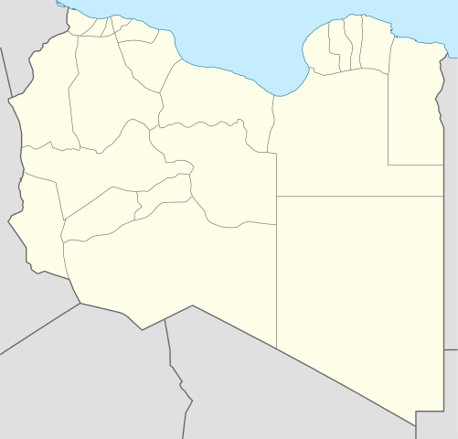
Deutsch: Positionskarte von Libyen
Quadratische Plattkarte, N-S-Streckung 110 %. Geographische Begrenzung der Karte:
English: Location map of Libya
Equirectangular projection, N/S stretching 110 %. Geographic limits of the map:
|
||
| Data | |||
| Provenjiensa |
Opara propia (Original text: own work, using)
|
||
| Autore | NordNordWest | ||
| Altre version |
Derivative works of this file:
|
||
| SVG sviluppo | Questa mappa in grafica vettoriale è stata creata con Adobe Illustrator.
|


Licensa de doparasion:
NordNordWest, che el detien el dirito d'autor su sta opera, el la pùblica qua soto le seguenti license:

|
Se autorixa ła copia, distribusion y modifegasion de sto documento soto i termani de ła liçensa de documentasion libara GNU, version 1.2 o calsiasi altra version dopo, publegada da ła Fonsasion par el Software Libaro; sensa sesion invariabiłi, testi de coertina e njianca testi de contro-coertina. Se include na copia de ła pena dita liçensa in te ła sesion intitołada Liçensa de Documentasion Libara GNU. |
Sto file el xe soto la licensa Creative Commons Atribusion 3.0 Unported
Atribusion: NordNordWest
- Te si libaro:
- de spartire in jiro – de copiar, distribuir e trasmétar sta opera
- de modifegar – de adatar sta opera
- Soto le seguenti condision:
- atribussion – Te ghe da atribuir ƚa paternità de ƚ'opera ne i modi indicà de l'autor o da chi te gà dà l'opera en lisensa, e en modo tale da no sugerir che lori i sia d'acordo con ti o col modo che te dòpari l'opera.
Te połi segnare ła liçensa che te prefarisi
Istoria del file
Schicia so on grupo data/or pa vedare el file come che el se presentava in tel momento indegà.
| Data/Ora | Miniadura | Dimension | Utente | Comento | |
|---|---|---|---|---|---|
| In ultima | 17:59, 15 avr 2011 | | 969 × 929 (90 KB) | NordNordWest | upd |
| 21:15, 18 maj 2009 |  | 970 × 931 (150 KB) | NordNordWest | finalized | |
| 18:19, 18 maj 2009 |  | 969 × 930 (127 KB) | NordNordWest | {{Information |Description= {{de|Positionskarte von Libyen, Vorversion}} Quadratische Plattkarte, N-S-Streckung 110 %. Geographische Begrenzung der Karte: * N: 33.4° N * S: 19.1° N * W: 9.1° O * O: 25.5° O {{en|Location map of [[:en:Lib |
Doparasion del file
Ła pajina che vien ła dopara sto file:
Doparasion globałe del file
St'altre wiki cua le dopara sto file:
- Uxo de af.wikipedia.org inte le pàjine
- Uxo de am.wikipedia.org inte le pàjine
- Uxo de an.wikipedia.org inte le pàjine
- Uxo de ar.wikipedia.org inte le pàjine
- كأس الأمم الإفريقية 1982
- واو الناموس
- قالب:خريطة مواقع ليبيا
- مطار بني وليد
- مطار رأس لانوف
- قاعدة الجفرة الجوية
- مطار هون
- مطار مرتوبة
- تفجير زليتن 2016
- تفجيرات الخمس 2015
- مطار تمنهنت الدولي
- مطار براك
- تفجير مسجد بيعة الرضوان 2018
- سبخة غزيل
- هجوم المفوضية الوطنية العليا للانتخابات 2018
- قالب:خريطة مفصلة للحرب الأهلية الليبية
- الغارة الجوية على مرزق 2019
- جبل هروج
- أم الأحرار
- جديد (ليبيا)
- الحجارة (ليبيا)
- Uxo de ar.wikinews.org inte le pàjine
- Uxo de arz.wikipedia.org inte le pàjine
- Uxo de ast.wikipedia.org inte le pàjine
Varda ła doparasion globałe de sto file.