File:Aerial view of the Central Intelligence Agency headquarters, Langley, Virginia - Corrected and Cropped.jpg
Dimension de sta anteprima: 800 × 356 pixel. Altre risołusion: 320 × 142 pixel | 640 × 284 pixel | 1 024 × 455 pixel | 1 280 × 569 pixel | 2 560 × 1 138 pixel | 5 523 × 2 455 pixel.
File orixenałe (5 523 × 2 455 pixel, dimension del file: 7,57 MB, tipo MIME: image/jpeg)
Somario
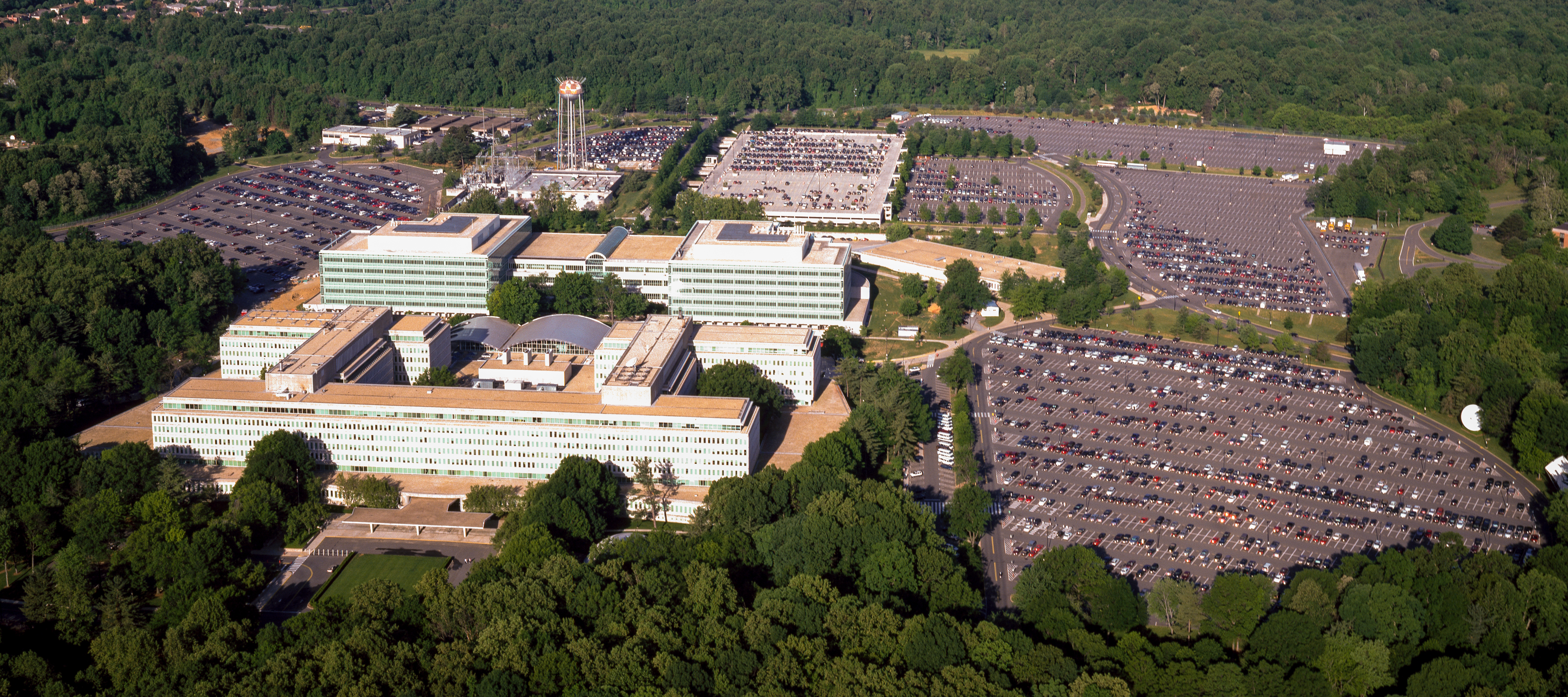
| Aerial view of the Central Intelligence Agency headquarters, Langley, Virginia
( |
|||||||||||||||||||||||||||
|---|---|---|---|---|---|---|---|---|---|---|---|---|---|---|---|---|---|---|---|---|---|---|---|---|---|---|---|
| Autore |
|
||||||||||||||||||||||||||
| Titoło |
Aerial view of the Central Intelligence Agency headquarters, Langley, Virginia |
||||||||||||||||||||||||||
| Luogo rappresentato | Central Intelligence Agency headquarters | ||||||||||||||||||||||||||
| Data | tra el 1980 e el 2006 | ||||||||||||||||||||||||||
| Tènica | 1 transparency : color | ||||||||||||||||||||||||||
| Dimensioni | 4 x 5 in. or smaller. | ||||||||||||||||||||||||||
| Cołesion |
|
||||||||||||||||||||||||||
| Dove el xe |
Prints and Photographs Division http://hdl.loc.gov/loc.pnp/pp.print |
||||||||||||||||||||||||||
| Note |
|
||||||||||||||||||||||||||
| Provenjiensa |
|
||||||||||||||||||||||||||
| Liçensa (Ridoparar sto file) |
Rights Advisory: No known restrictions on publication. | ||||||||||||||||||||||||||
| Altre version |
|
||||||||||||||||||||||||||


| | La posission de sta qua e de altre imagini su: OpenStreetMap |
Licensa de doparasion:
| Questa opera proviene dalla collezione Carol M. Highsmith Archive della Biblioteca del Congresso. Secondo la biblioteca, non esiste alcuna restrizione nota del diritto di copia sull'uso di quest'opera. Carol M. Highsmith has stipulated that her photographs are in the public domain. Photographs of sculpture or other works of art may be restricted by the copyright of the artist. |
 |
Istoria del file
Schicia so on grupo data/or pa vedare el file come che el se presentava in tel momento indegà.
| Data/Ora | Miniadura | Dimension | Utente | Comento | |
|---|---|---|---|---|---|
| In ultima | 18:17, 22 avr 2017 | | 5 523 × 2 455 (7,57 MB) | Falcorian | User created page with UploadWizard |
Doparasion del file
Ła pajina che vien ła dopara sto file:
Doparasion globałe del file
St'altre wiki cua le dopara sto file:
- Uxo de ar.wikipedia.org inte le pàjine
- Uxo de arz.wikipedia.org inte le pàjine
- Uxo de ast.wikipedia.org inte le pàjine
- Uxo de azb.wikipedia.org inte le pàjine
- Uxo de az.wikipedia.org inte le pàjine
- Uxo de br.wikipedia.org inte le pàjine
- Uxo de ca.wikipedia.org inte le pàjine
- Uxo de ce.wikipedia.org inte le pàjine
- Uxo de cs.wikipedia.org inte le pàjine
- Uxo de cy.wikipedia.org inte le pàjine
- Uxo de da.wikipedia.org inte le pàjine
- Uxo de de.wikipedia.org inte le pàjine
- Uxo de en.wikipedia.org inte le pàjine
- Uxo de eo.wikipedia.org inte le pàjine
- Uxo de eo.wikiquote.org inte le pàjine
- Uxo de es.wikipedia.org inte le pàjine
- Uxo de fi.wikipedia.org inte le pàjine
- Uxo de fr.wikipedia.org inte le pàjine
- Uxo de fr.wikinews.org inte le pàjine
- Uxo de ga.wikipedia.org inte le pàjine
- Uxo de ha.wikipedia.org inte le pàjine
- Uxo de he.wikipedia.org inte le pàjine
- Uxo de hu.wikipedia.org inte le pàjine
- Uxo de id.wikipedia.org inte le pàjine
- Uxo de it.wikipedia.org inte le pàjine
- Uxo de ja.wikipedia.org inte le pàjine
- Uxo de ko.wikipedia.org inte le pàjine
- Uxo de ky.wikipedia.org inte le pàjine
- Uxo de lt.wikipedia.org inte le pàjine
- Uxo de lv.wikipedia.org inte le pàjine
- Uxo de mn.wikipedia.org inte le pàjine
- Uxo de ne.wikipedia.org inte le pàjine
- Uxo de nn.wikipedia.org inte le pàjine
- Uxo de no.wikipedia.org inte le pàjine
- Uxo de ro.wikipedia.org inte le pàjine
- Uxo de ru.wikipedia.org inte le pàjine
- Uxo de ru.wikinews.org inte le pàjine
Varda ła doparasion globałe de sto file.