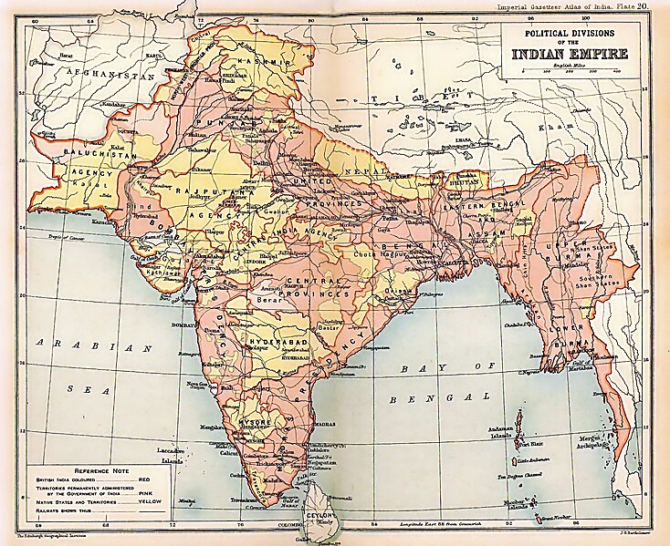
File:British Indian Empire 1909 Imperial Gazetteer of India.jpg

Dimension de sta anteprima: 734 × 599 pixel. Altre risołusion: 294 × 240 pixel | 588 × 480 pixel | 941 × 768 pixel | 1 254 × 1 024 pixel | 1 498 × 1 223 pixel.
File orixenałe (1 498 × 1 223 pixel, dimension del file: 957 KB, tipo MIME: image/jpeg)
Istoria del file
Schicia so on grupo data/or pa vedare el file come che el se presentava in tel momento indegà.
| Data/Ora | Miniadura | Dimension | Utente | Comento | |
|---|---|---|---|---|---|
| In ultima | 22:26, 15 mar 2012 |  | 1 498 × 1 223 (957 KB) | Soerfm | Color |
| 22:28, 15 mar 2012 |  | 1 498 × 1 223 (1,53 MB) | Soerfm | Color | |
| 00:55, 9 feb 2012 |  | 1 498 × 1 223 (957 KB) | M0tty | Remove compression artefacts by a bilateral filtering. | |
| 18:33, 23 maj 2010 |  | 1 498 × 1 223 (694 KB) | Malus Catulus | removed watermark | |
| 01:13, 25 luj 2009 |  | 1 498 × 1 223 (457 KB) | BetacommandBot | move approved by: User:Kintetsubuffalo This image was moved from File:IGI british indian empire1909reduced.jpg {{BotMoveToCommons|en.wikipedia|year=2008|month=October |day=13}} {{Information |Description={{en|Image of map of the British Indian |
Doparasion del file
Ła pajina che vien ła dopara sto file:
Doparasion globałe del file
St'altre wiki cua le dopara sto file:
- Uxo de af.wikipedia.org inte le pàjine
- Uxo de ar.wikipedia.org inte le pàjine
- Uxo de arz.wikipedia.org inte le pàjine
- Uxo de ast.wikipedia.org inte le pàjine
- Uxo de as.wikipedia.org inte le pàjine
- Uxo de azb.wikipedia.org inte le pàjine
- Uxo de az.wikipedia.org inte le pàjine
- Uxo de ba.wikipedia.org inte le pàjine
- Uxo de be-tarask.wikipedia.org inte le pàjine
- Uxo de be.wikipedia.org inte le pàjine
- Uxo de bg.wikipedia.org inte le pàjine
- Uxo de bh.wikipedia.org inte le pàjine
- Uxo de bn.wikipedia.org inte le pàjine
- Uxo de ca.wikipedia.org inte le pàjine
- Uxo de ce.wikipedia.org inte le pàjine
- Uxo de ckb.wikipedia.org inte le pàjine
- Uxo de cs.wikipedia.org inte le pàjine
- Uxo de cy.wikipedia.org inte le pàjine
- Uxo de da.wikipedia.org inte le pàjine
- Uxo de de.wikipedia.org inte le pàjine
Varda ła doparasion globałe de sto file.
