File:Danube delta satelite.png
Dimension de sta anteprima: 796 × 599 pixel. Altre risołusion: 319 × 240 pixel | 638 × 480 pixel | 1 020 × 768 pixel | 1 280 × 964 pixel | 2 560 × 1 928 pixel | 2 720 × 2 048 pixel.
File orixenałe (2 720 × 2 048 pixel, dimension del file: 11,57 MB, tipo MIME: image/png)
Somario
| Descrision |
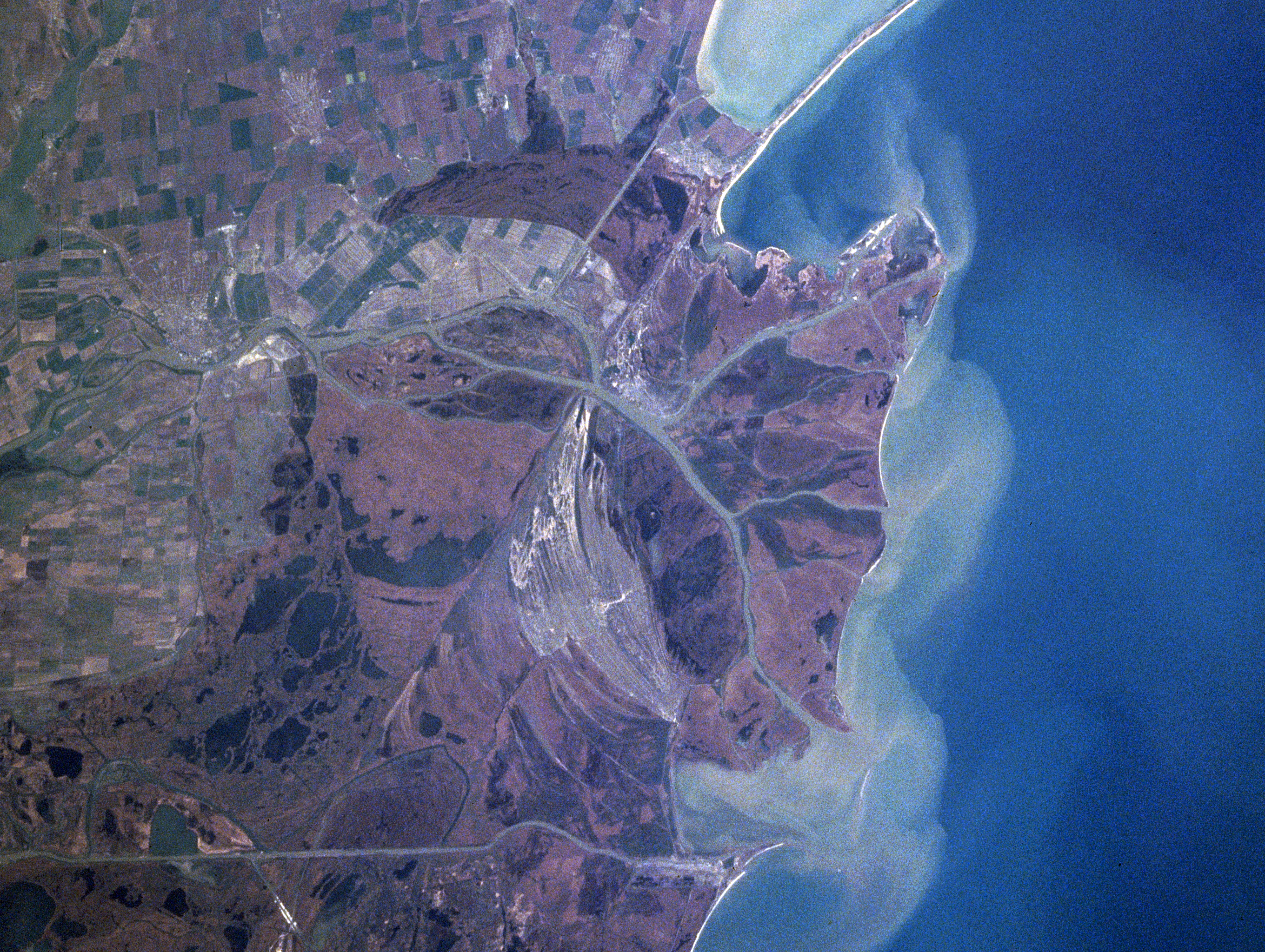
Español: Sector septentrional del delta del Danubio. Se aprecian los sedimentos en suspensión con que se constituye
Foto de satélite (NASA) English: Danube River Delta, Romania/Ukraine Winter/Spring 1998
|
| Data | Scattata il 16 apriłe 1998, 12:15:20 UTC |
| Provenjiensa | https://eol.jsc.nasa.gov/searchphotos/photo.pl?mission=NASA7&roll=720&frame=006 |
| Autore | NASA/Mir astronaut |
Questa immagine o filmato è stato catalogato da uno dei centri della National Aeronautics and Space Administration (NASA) degli Stati Uniti d'Americacon il Photo ID: NASA7-720-6.Questo tag non indica lo status del copyright dell'opera ad esso associato. È quindi richiesto un normale tag di copyright. Vedi Commons:Licenze per maggiori informazioni. Altre lingue:
|
Licensa de doparasion:
| Sto file multimedial el xe 'ntel publico dominio parché el xe stà creà da la NASA. La polìtega del dirito d'autor de la NASA xe che «el material de la NASA no'l xe proteto dal dirito d'autor via de quando altrimenti spesificà». (Polìtega del dirito d'autor de la NASA e polìtega de l'uso de le imagini del JPL Image Use Policy) | ||
 |
Ocio:
|
Istoria del file
Schicia so on grupo data/or pa vedare el file come che el se presentava in tel momento indegà.
| Data/Ora | Miniadura | Dimension | Utente | Comento | |
|---|---|---|---|---|---|
| In ultima | 00:06, 4 feb 2021 | | 2 720 × 2 048 (11,57 MB) | Ras67 | high resolution |
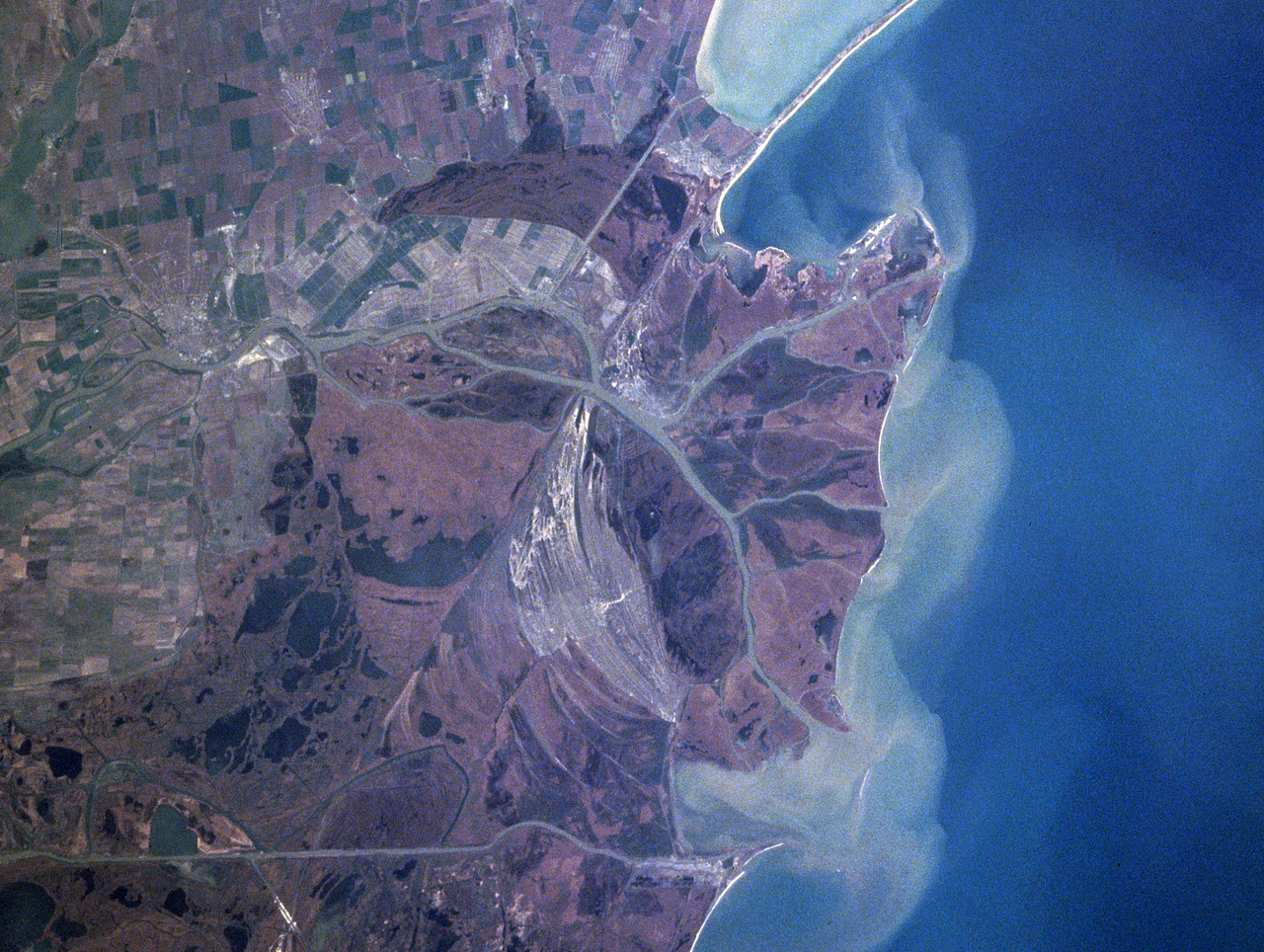
| 03:41, 13 xug 2005 |  | 322 × 243 (43 KB) | Shizhao | Danube Delta satellite photo, source: http://earth.jsc.nasa.gov/sseop/efs/caption.pl?PHOTO=NASA7-720-6 {{PD-USGov-NASA}} |
Doparasion del file
Nisuna pajina ła dopara sto file
Doparasion globałe del file
St'altre wiki cua le dopara sto file:
- Uxo de ast.wikipedia.org inte le pàjine
- Uxo de bg.wikipedia.org inte le pàjine
- Uxo de ca.wikipedia.org inte le pàjine
- Uxo de da.wikipedia.org inte le pàjine
- Uxo de en.wikipedia.org inte le pàjine
- Uxo de en.wikivoyage.org inte le pàjine
- Uxo de eo.wikipedia.org inte le pàjine
- Uxo de es.wikivoyage.org inte le pàjine
- Uxo de fr.wikipedia.org inte le pàjine
- Uxo de is.wikipedia.org inte le pàjine
- Uxo de it.wikipedia.org inte le pàjine
- Uxo de ja.wikipedia.org inte le pàjine
- Uxo de ko.wikipedia.org inte le pàjine
- Uxo de li.wikipedia.org inte le pàjine
- Uxo de lt.wikipedia.org inte le pàjine
- Uxo de nl.wikipedia.org inte le pàjine
- Uxo de nn.wikipedia.org inte le pàjine
- Uxo de oc.wikipedia.org inte le pàjine
- Uxo de pt.wikipedia.org inte le pàjine
- Uxo de scn.wikipedia.org inte le pàjine
- Uxo de sh.wikipedia.org inte le pàjine
- Uxo de simple.wikipedia.org inte le pàjine
- Uxo de sk.wikipedia.org inte le pàjine
- Uxo de sv.wikipedia.org inte le pàjine
- Uxo de uk.wikipedia.org inte le pàjine
- Uxo de vi.wikipedia.org inte le pàjine
- Uxo de www.wikidata.org inte le pàjine
- Uxo de zh.wikipedia.org inte le pàjine