File:India Madhya Pradesh location map.svg

Dimensioni di questa anteprima PNG per questo file SVG: 800 × 563 pixel. Altre risołusion: 320 × 225 pixel | 640 × 450 pixel | 1 024 × 720 pixel | 1 280 × 900 pixel | 2 560 × 1 800 pixel | 1 041 × 732 pixel.
File orixenałe (file en formato SVG, dimension nominałi 1 041 × 732 pixel, dimension del file: 180 KB)
Somario
| Descrision |
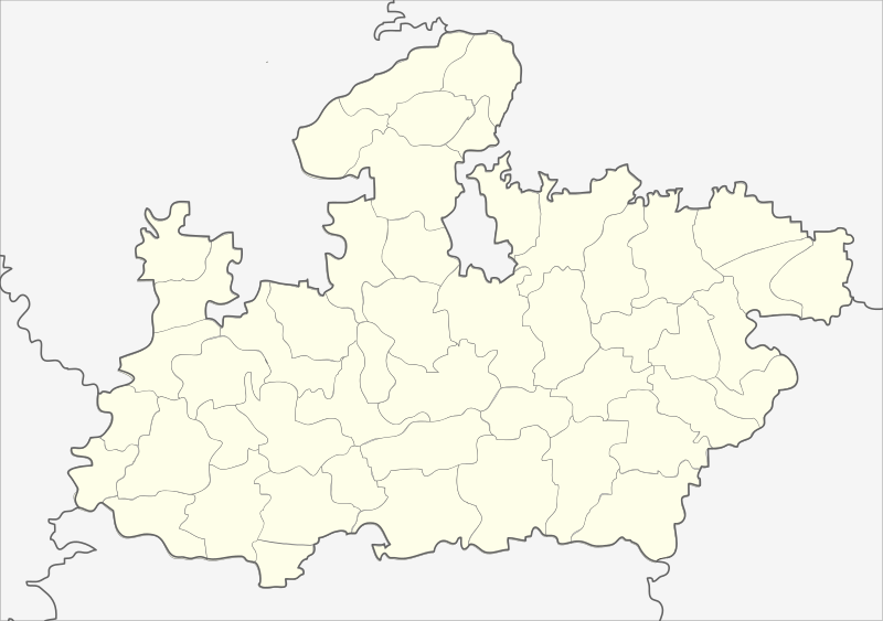
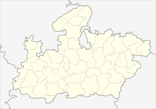
English: Locator map of Madhya Pradesh.
Geographical limits of the map:
Français : Carte de localisation du Madhya Pradesh, Inde. |
| Data | (UTC) |
| Provenjiensa | India_Madhya_Pradesh_locator_map.svg |
| Autore |
India_Madhya_Pradesh_locator_map.svg: user:Planemad
|
| Altre version |
|


| Sta qua la xe na imagine ritocà, che vol dir che la xe stà modificà digitalmente rispeto a la so version original. Modifiche: Cropped map of madhya pradesh. L'original el se pol védar qua: India Madhya Pradesh locator map.svg. Modifiche fate da Nayvik.
|
Licensa de doparasion:
Sto file el xe soto ła liçensa Creative Commons Atribusion-Spartisi in te ła stesa manjiera 3.0 Xenèrego.
- Te si libaro:
- de spartire in jiro – de copiar, distribuir e trasmétar sta opera
- de modifegar – de adatar sta opera
- Soto le seguenti condision:
- atribussion – Te ghe da atribuir ƚa paternità de ƚ'opera ne i modi indicà de l'autor o da chi te gà dà l'opera en lisensa, e en modo tale da no sugerir che lori i sia d'acordo con ti o col modo che te dòpari l'opera.
- spartisi in te ła stesa manjiera – Se te mis-ci, trasformi o dexviłupi sto laoro, te ghè da spartire łe to contribusion segondo ła stesa liçensa o na conpatibiłe a l'orixenałe.
Registro original del caricamento
This image is a derivative work of the following images:
- File:India_Madhya_Pradesh_locator_map.svg licensed with Cc-by-sa-3.0
- 2006-08-06T17:38:20Z Planemad 1639x1852 (768594 Bytes) {{WikiProject_India_Maps |Title=Madhya Pradesh locator map |Description=Locator map of the state of Madhya Pradesh, [[w:India|India]] with district boundaries. |Source=. |Date=August 6 2006 |Author=[[w:user:Nichalp]][[w:user
Uploaded with derivativeFX
| Annotations | This image is annotated: View the annotations at Commons |
Istoria del file
Schicia so on grupo data/or pa vedare el file come che el se presentava in tel momento indegà.
| Data/Ora | Miniadura | Dimension | Utente | Comento | |
|---|---|---|---|---|---|
| In ultima | 00:26, 26 feb 2013 | | 1 041 × 732 (180 KB) | Milenioscuro | updated new districts, colors according german map workshop and the other India location maps |
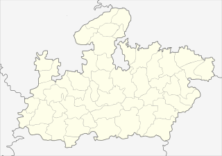
| 14:19, 25 nov 2010 |  | 610 × 440 (146 KB) | Nayvik | Changed background color | |
| 14:13, 25 nov 2010 |  | 610 × 440 (146 KB) | Nayvik | {{Information |Description=Locator map of Madhya Pradesh.<br> Geographical limits of the map: * 28.0°N * 20.0°N * 84.0°E * 72.0°E |Source=*File:India_Madhya_Pradesh_locator_map.svg |Date=2010-11-25 12:11 (UTC) |Author=*[[:Fi |
Doparasion del file
Nisuna pajina ła dopara sto file
Doparasion globałe del file
St'altre wiki cua le dopara sto file:
- Uxo de de.wikipedia.org inte le pàjine
- Uxo de de.wikivoyage.org inte le pàjine
- Uxo de en.wikipedia.org inte le pàjine
- Uxo de eo.wikipedia.org inte le pàjine
- Uxo de fa.wikipedia.org inte le pàjine
Varda ła doparasion globałe de sto file.