File:Karte Zürichsee.png
Dimension de sta anteprima: 720 × 599 pixel. Altre risołusion: 288 × 240 pixel | 577 × 480 pixel | 923 × 768 pixel | 1 181 × 983 pixel.
File orixenałe (1 181 × 983 pixel, dimension del file: 232 KB, tipo MIME: image/png)
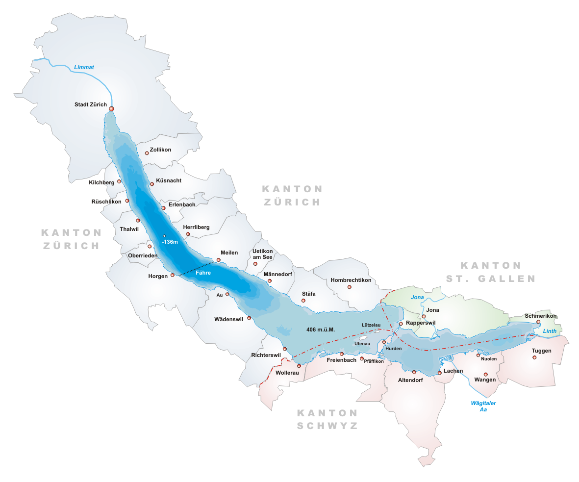
- Description: Map of Zürichsee, Switzerland
- Designer: Tschubby
- Licence:

|
Se autorixa ła copia, distribusion y modifegasion de sto documento soto i termani de ła liçensa de documentasion libara GNU, version 1.2 o calsiasi altra version dopo, publegada da ła Fonsasion par el Software Libaro; sensa sesion invariabiłi, testi de coertina e njianca testi de contro-coertina. Se include na copia de ła pena dita liçensa in te ła sesion intitołada Liçensa de Documentasion Libara GNU. |
| Sto file el xe soto ła liçensa Creative Commons Atribusion-Spartisi in te ła stesa manjiera 3.0 Xenèrego. | ||
| ||
| Sto tag de copyright lo gavemo zontà ne l'ànbito de l'ajornamento de la licensa dei progeti Wikimedia. |
Istoria del file
Schicia so on grupo data/or pa vedare el file come che el se presentava in tel momento indegà.
| Data/Ora | Miniadura | Dimension | Utente | Comento | |
|---|---|---|---|---|---|
| In ultima | 20:14, 22 xug 2005 | | 1 181 × 983 (232 KB) | Tschubby | *Description: Map of Zürichsee, Switzerland *Designer: Tschubby *Licence: {{GFDL}} Category:Maps of Swiss lakes |
Doparasion del file
Ła pajina che vien ła dopara sto file:
Doparasion globałe del file
St'altre wiki cua le dopara sto file:
- Uxo de ar.wikipedia.org inte le pàjine
- Uxo de arz.wikipedia.org inte le pàjine
- Uxo de ast.wikipedia.org inte le pàjine
- Uxo de be.wikipedia.org inte le pàjine
- Uxo de bs.wikipedia.org inte le pàjine
- Uxo de ca.wikipedia.org inte le pàjine
- Uxo de ceb.wikipedia.org inte le pàjine
- Uxo de cs.wikipedia.org inte le pàjine
- Uxo de de.wikipedia.org inte le pàjine
- Uxo de en.wikipedia.org inte le pàjine
- Lake Zurich
- Canton of Schwyz
- Limmat
- Linth
- Canton of Zürich
- Erlenbach, Switzerland
- Rapperswil-Jona
- Männedorf
- Meilen
- Canton of St. Gallen
- Schmerikon
- Uerikon
- Kehlhof
- Stäfa
- Uetikon am See
- Herrliberg
- Küsnacht
- Feldbach, Switzerland
- Lachen, Switzerland
- Horgen
- Thalwil
- Zürcher Verkehrsverbund
- S7 (ZVV)
- Kilchberg, Zürich
- Pfäffikon, Schwyz
- Albis
- Uetliberg
- Sihl
- Rüschlikon
- March District
- Zürichberg
- Horgen District
- Oberrieden
- Freienbach
- Altendorf, Schwyz
- Höfe District
- See-Gaster
- Richterswil
Varda ła doparasion globałe de sto file.